FlytBase and GEOINN Partner to Automate Drone-Based Mapping and Monitoring in Central America

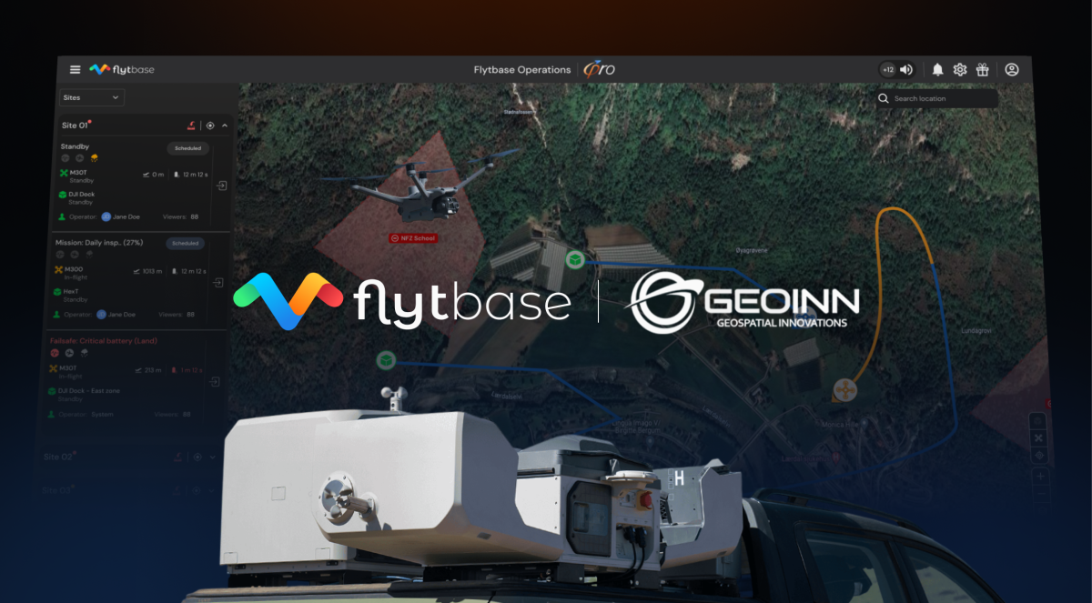
San Jose, California (USA), April 24, 2025: FlytBase, a global leader in drone autonomy software, has announced a partnership with GEOINN, a Costa Rica-based geospatial solutions provider, to bring advanced drone automation to environmental, infrastructure, and security operations across Central America.
Challenges with Manual Workflows
Across public and private sectors, teams responsible for monitoring land, infrastructure,or environmental conditions often rely on manual field surveys and drone flights to collect aerial data. These operations can be repetitive, time-consuming, and require trained personnel on-site, particularly in remote or high-risk areas. Once data is collected, teams often face additional friction during processing, as large volumes of imagery require manual uploads and conversions across multiple software platforms. Moreover, such challenges are particularly evident in sectors that require consistent, high-frequency data, such as environmental impact assessments, land development, and public safety. Delays in collection or processing often result in reduced situational awareness and limited responsiveness.
What This Partnership Brings
By combining FlytBase’s drone autonomy software with GEOINN’s deep experience in geospatial services, this partnership aims to provide a unified solution that enables users to automate aerial data collection and streamline their operations across use cases. With over a decade of experience in drone mapping, GIS, and remote sensing, the GEOINN team specializes in implementation and training while ensuring solutions are grounded in local needs and user realities.
Additionally, FlytBase’s software platform allows users to plan, schedule, and monitor drone operations remotely, reducing the need for manual oversight and increasing consistency in data capture. To overcome the common challenge of managing large volumes of data after each mission, the platform offers Flinks, or one-click third-party integrations with solutions like Pix4D, DroneDeploy, and Esri. These integrations help users automatically sync and process imagery, reducing the time and effort typically spent on manual uploads and transitions between systems.
“This partnership with GEOINN brings our shared vision of scalable, autonomous drone operations to reality in Central America. By combining GEOINN’s geospatial expertise with FlytBase’s drone autonomy platform, we’re delivering scalable solutions that work seamlessly for enterprises. This is a pivotal step in accelerating how Central America monitors its environment, infrastructure, and public spaces,” said Nitin Gupta, Founder and CEO, FlytBase
“At GEOINN, we have believed in innovation from the beginning, and this new business alliance allows GEOINN to innovate again by providing more robust, customized solutions that leverage the existing infrastructure of many of our clients, allowing GEOINN to serve unique integrations of customized solutions tailored to each client, as well as expand the options in ecosystems that integrate the most advanced and diverse drone equipment and third-party hardware” said Adolfo Gomez, President and CEO, GEOINN
With FlytBase Shield, an enterprise-grade security framework with encrypted communication, role-based access, and flexible deployment options such as on-premises and air-gapped environments, enables users to operate securely by default. Certified under ISO 27001, SOC 2 Type II, and GDPR, it ensures that drone operations meet global standards for data protection and privacy.
About GEOINN
GEOINN is a geospatial solutions company based in Costa Rica, offering services in drone mapping, GIS, remote sensing, and technical training. With over 20 years of experience serving public institutions, private enterprises, and academic organizations across Latin America, GEOINN delivers integration solutions in areas like Engineering, Security and Defense, Environmental Applications, and Public Network Solutions. These solutions combine spatial data solutions with capacity-building programs tailored to the region’s needs. Learn more at www.GEOINN.com.
About FlytBase
Founded in 2016, FlytBase, Inc., a Silicon Valley company, is an enterprise drone autonomy software platform. FlytBase was part of Cisco’s accelerator program and was recognized as the Grand Champion at NTT Data’s Global Innovation Contest. FlytBase’s secure and scalable platform allows system integrators to build automated drone workflows by combining hardware, BVLOS capabilities, Flinks, and third-party analytics tools for use cases like inspections, security, and emergency response. To learn more, visit www.flytbase.com.
Media Contact
Prishita Kalra
Marketing Communications Associate
FlytBase
Related


